Directory of cemeteries and gravestones
Currently this directory contains information on 2041 cemeteries.
Friedhofsverzeichmis mit OSM-Karte
Back to overview
The Brandenburg Cemetery Directory is an open project of the Brandenburg Genealogical Society "Roter Adler" e.V. Not only members of the society but also all other interested people can participate. In this directory you will find not only information about the respective cemetery itself but also information about the gravestones there.
Each sender of data can decide whether the transcriptions are to be displayed completely publicly or only as an index of names. The symbols behind the gravestones have the following meaning:: The transcripts for these entries can be viewed completely publicly.
 Information on these gravestones can be requested by e-mail.
Currently this directory contains information on 2041 cemeteries.
Beerfelde Friedhof
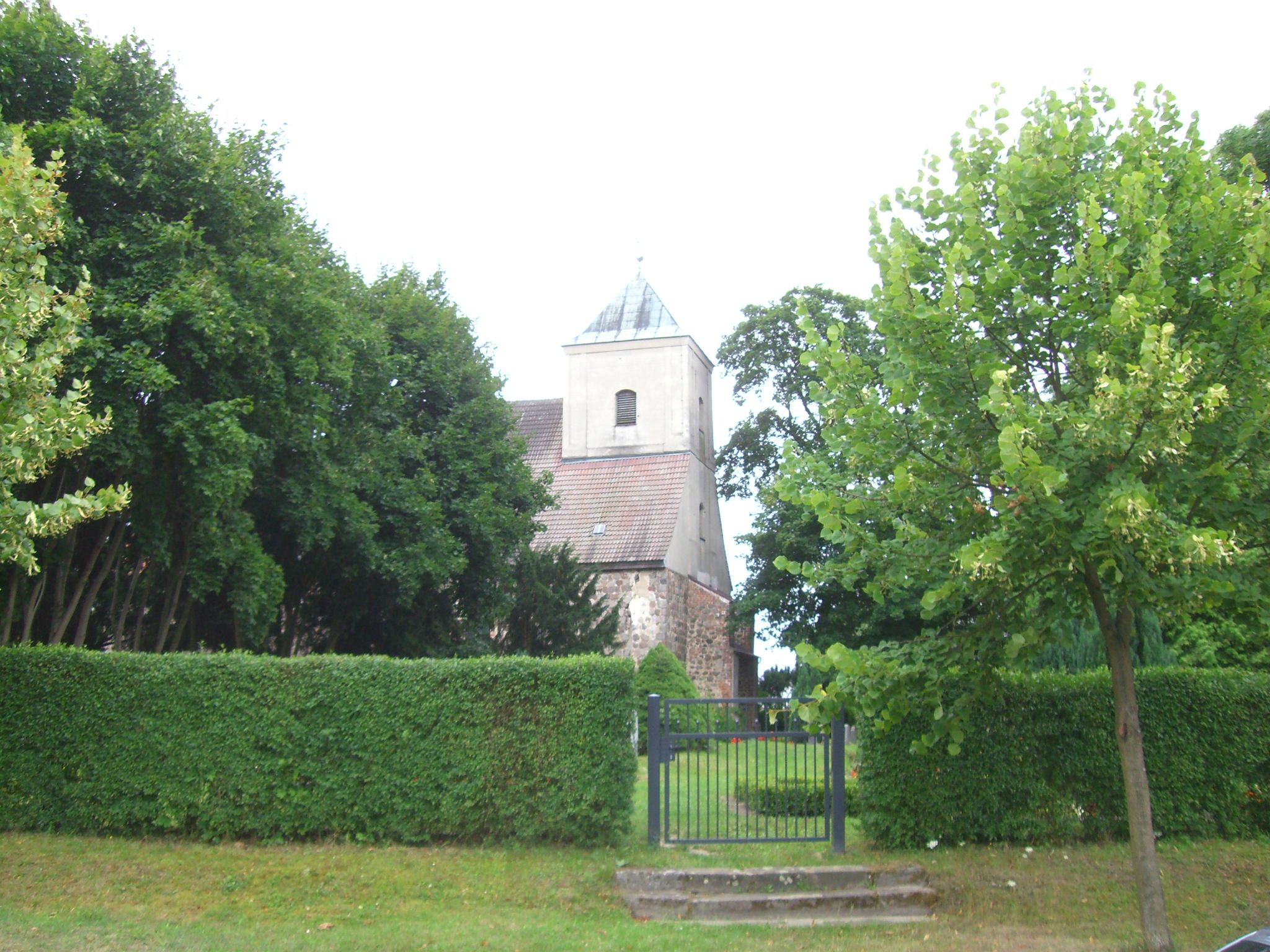 Photographer: Martina Rohde 2008 | Name of the cemetery: | Beerfelde Friedhof |
| Place: | ||
| Steet & House number: | Kirchgasse | |
| Carrier: | ||
| Size: | ||
| Opening: | ||
| Closure: | ||
| Number of recorded graves: | 41 | |
| Author: | Martina Rohde | |
| Description: |
| Entry 1 to 41 of 41 entries | ||||
| Lastname | Firstname | |
| Ziemann | Friedrich |
| Sedat | Fritz |
| Sedat | Frieda |
| Sedat | Albert |
| Sedat | Lidia |
| Neumann | Elise |
| Töpfer | Gertrud |
| Töpfer | Fritz |
| Töpfer | Ida |
| Töpfer | Friedrich |
| Töpfer | Hannelore |
| Töpfer | Friedhelm |
| Melchert | August |
| Melchert | Minna |
| Melchert | Linda |
| Melchert | Karl |
| Melchert | Johanna |
| Melchert | Otto |
| Gasche | Ella |
| Gasche | Otto |
| Bleck | Gertrud |
| Bleck | Willi |
| Bleck | Frieda |
| Bleck | Richard |
| Tuchnitz | Paul |
| Tuchnitz | Margarete |
| Tuchnitz | Gertrud |
| Boche | Hedwig |
| Boche | Gustav |
| Maul | Hermann |
| Maul | Martha |
| Puhlmann | Wilhelm |
| Puhlmann | Wilhelm |
| Puhlmann | Elisabeth |
| Puhlmann | Elisabeth |
| Puhlmann | Fritz |
| Redlich | Maria |
| Bierwagen | Hedwig |
| Redlich | Max |
| Töpfer | Auguste |
| Töpfer | Gottfried |
1associate monument were found in the database of fallen monuments.
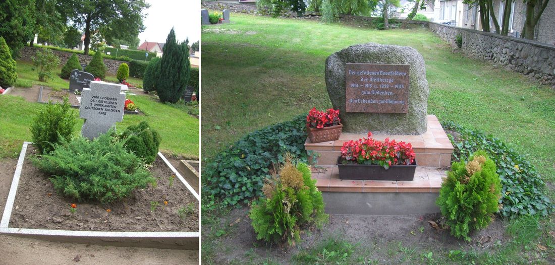 Photographer: Martina Rohde 2008 | Place | Beerfelde Friedhof WK 1 und WK 2 |
| Number of fallen | Datensätze |
The following additional information is taken from the genealogical gazetteer of the
Verein für Computergenealogie e.V.
Verein für Computergenealogie e.V.
| Name: | Kirchhof Beerfelde |
| GOV-ID: | KIRLDEJO72AK |
| Longitude and Latitude: | 14.042713 °O 52.430366 °N |
| Height over NN |
Back to overview