Directory of cemeteries and gravestones
The Brandenburg Cemetery Directory is an open project of the Brandenburg Genealogical Society "Roter Adler" e.V. Not only members of the society but also all other interested people can participate. In this directory you will find not only information about the respective cemetery itself but also information about the gravestones there.
Each sender of data can decide whether the transcriptions are to be displayed completely publicly or only as an index of names. The symbols behind the gravestones have the following meaning:: The transcripts for these entries can be viewed completely publicly.
 Information on these gravestones can be requested by e-mail.
Currently this directory contains information on 2041 cemeteries.
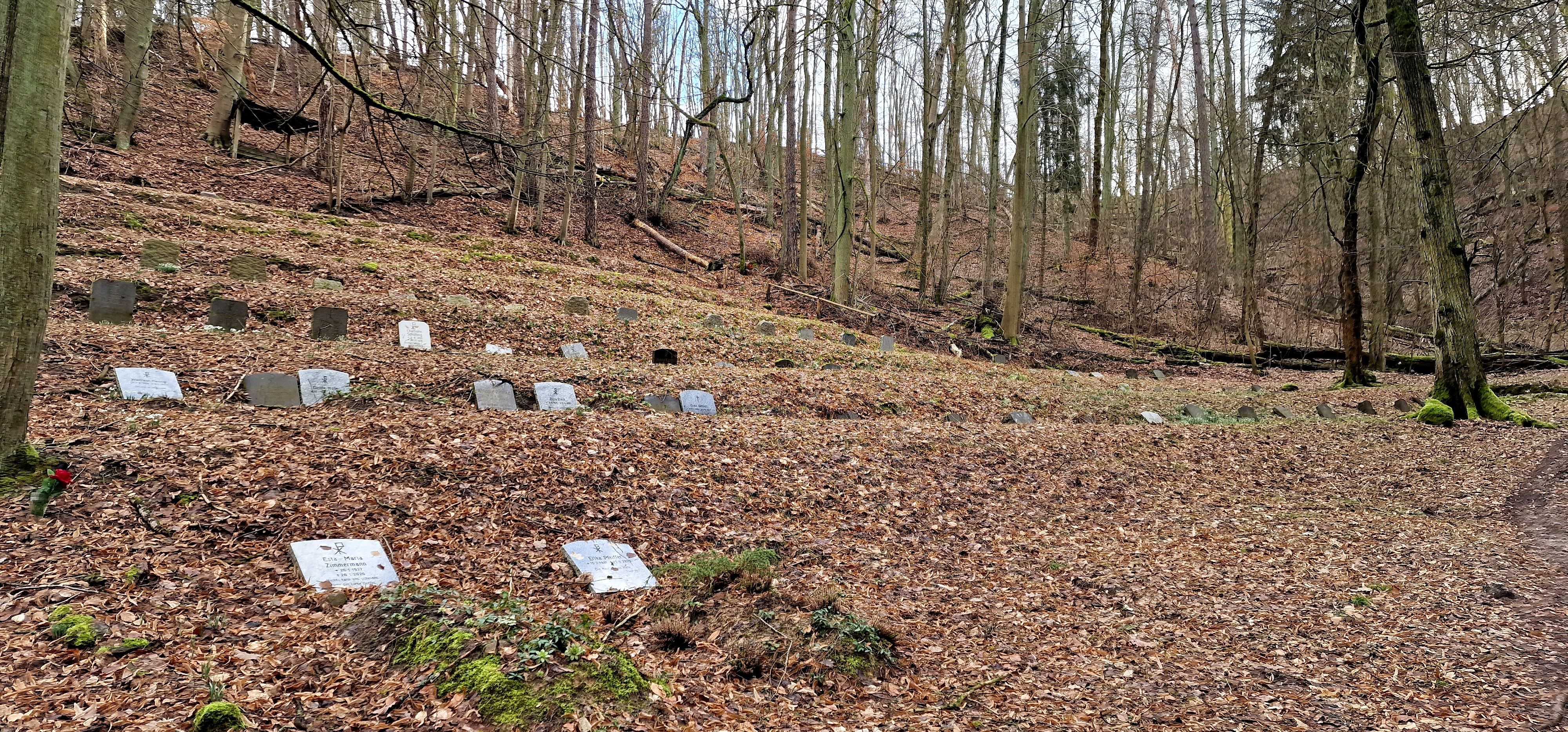
Bad Freienwalde Friedhof Missionshaus Malche
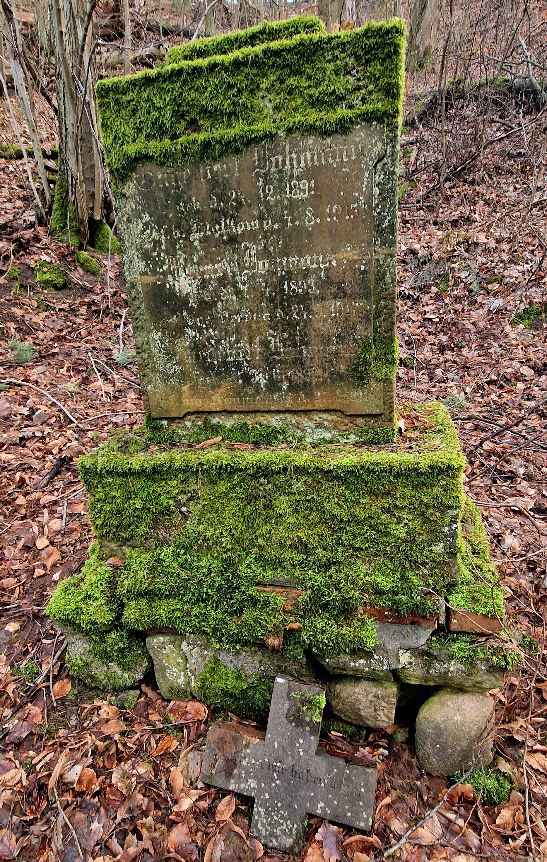
 Photographer: Verena Eger, 2024 | Name of the cemetery: | Bad Freienwalde Friedhof Missionshaus Malche |
| Place: | 16259 Bad Freienwalde | |
| Steet & House number: | Tobbenbergtal unterhalb der Uchtenhagen-Siedlung | |
| Carrier: | ||
| Size: | ||
| Opening: | ||
| Closure: | ||
| Number of recorded graves: | 95 | |
| Author: | Christian Jantc | |
| Description: | Der Friedhof liegt auf einer Anhöhe mitten im Wald. Für gebehinderte Personen ist das Aufsuchen nicht empfehlenswert. |
 Photographer: Verena Eger, 2024 | 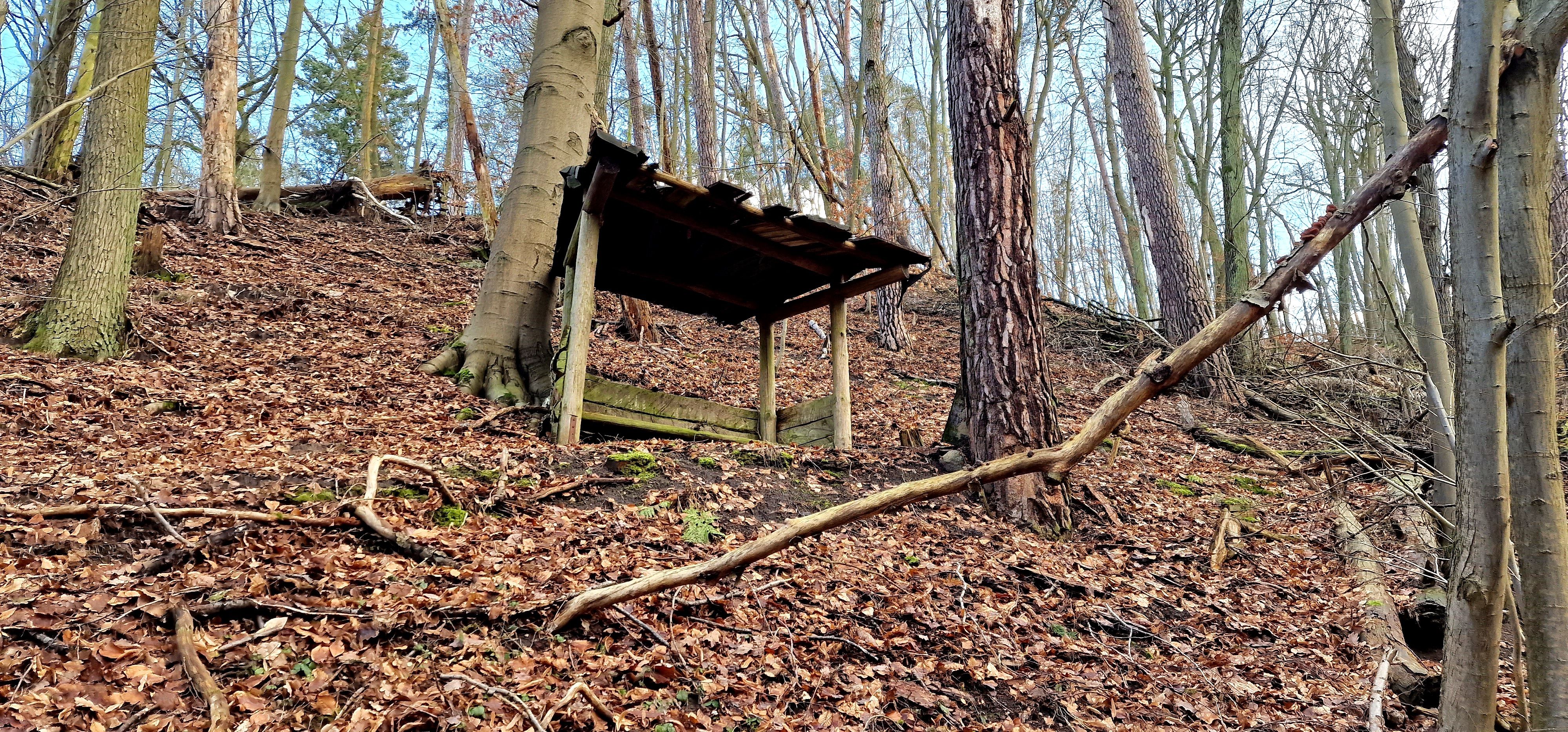 Photographer: Verena Eger, 2024 |
| Entry 1 to 50 of 95 entries |  |
|||
| Lastname | Firstname | |
| Alex | Charlotte |
| Bürkner | Frieda Maria |
| Becker | Eva |
| Beckmann | Herta |
| Berndt | Käte |
| Berner | Ilse |
| Bez | Margarete |
| Bleck | Dora |
| Bock | Ella |
| Bocker | Minna |
| Brüllke | Käthe |
| Buschmann | Brigitte |
| Czepluch | Frieda |
| Diekmann | Luise |
| Drescher | Margareta |
| Fach | Anna |
| Fach | Ida |
| Feldvoß | Gerda |
| Ferklaß | Elisabeth |
| Fleischmann | Else |
| Flinzer | Gisela |
| Florek | Johanna Herta |
| Fommel | Margarete |
| Frotscher | Maria |
| Göhlert | Martha |
| Gabbert | Erika |
| Geppert | Bertel |
| Geppert | Hildegard |
| Giese | Ella |
| Goldacker | Elisabeth |
| Grabowski | Helene |
| Großer | Elsa |
| Groth | Elisabeth |
| Grune | Hildegard |
| Hanzig | Waltraut |
| Hartmann | Gertrud |
| Heinze | Margarete |
| Hickstein | Charlotte |
| Hirsch | Ulla |
| Hoetzel | Elli |
| Justat | Gertrud |
| Klimach | Luba |
| Klimach | Else |
| Klingmann | Gertrud |
| Koberstein | Christel |
| Krönicke | Charlotte |
| Kriesel | Wera |
| Krug | Elsa |
| Krupka | Elise |
| Krupka | Magdalena |
 Photographer: Verena Eger, 2024 | Place | Bad Freienwalde Missionshaus Malche Einzelgrabstätte 1. Weltkrieg |
| Number of fallen | Datensätze |
Verein für Computergenealogie e.V.
| Name: | Malche |
| GOV-ID: | MALCHEJO62XS |
| Longitude and Latitude: | 13.9916 °O 52.7911 °N |
| Height over NN |
Back to overview